Aviation operations software
Capture geodata
Photogrammetry and remote sensing field missions.
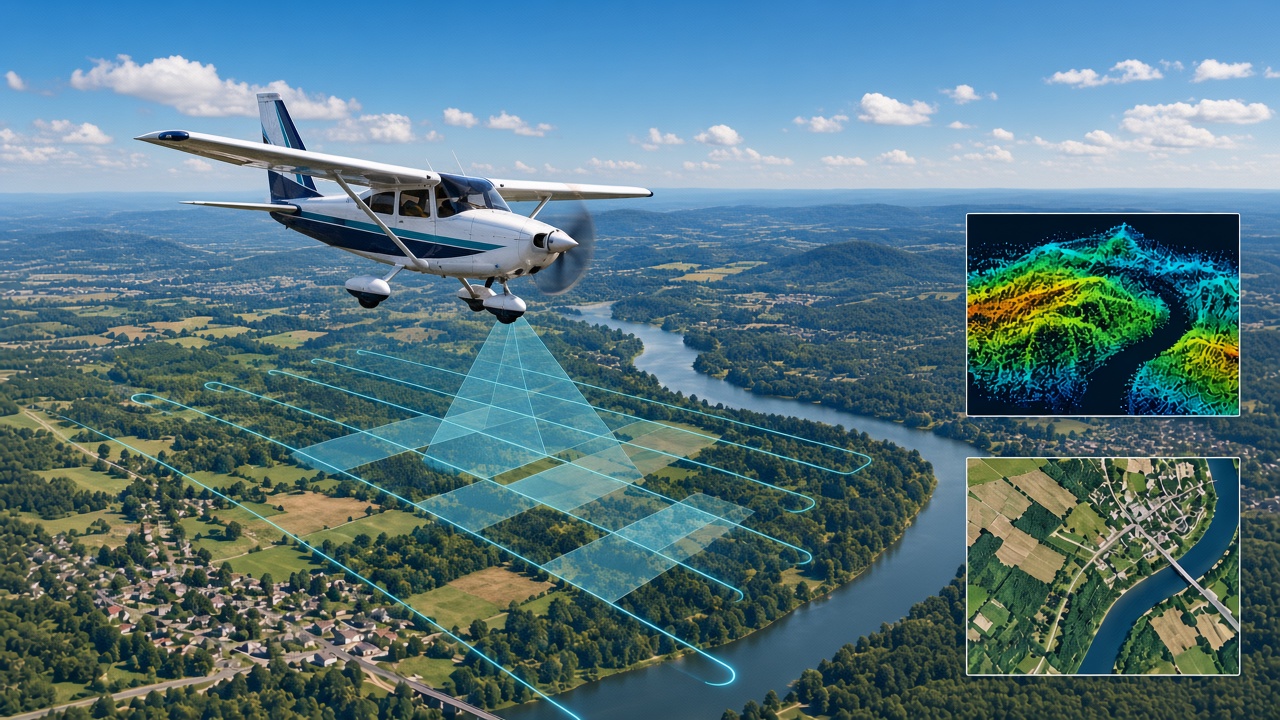
Support photogrammetry and remote sensing missions with a clear operations frame for imagery and sensor collection. The product focuses on mission context — not selling aircraft services.
Field teams keep collection notes with the flight so processing and QA teams inherit what happened in the air, not only the raw files.
Need the one-page campaign flyer? Download the Letter PDF.


