Aviation operations software
Air GeoData Mission Ops


Works with TAK
Planned enhancement
Integration with GeoSightOps.com Incident Management Solution
Aviation operations software
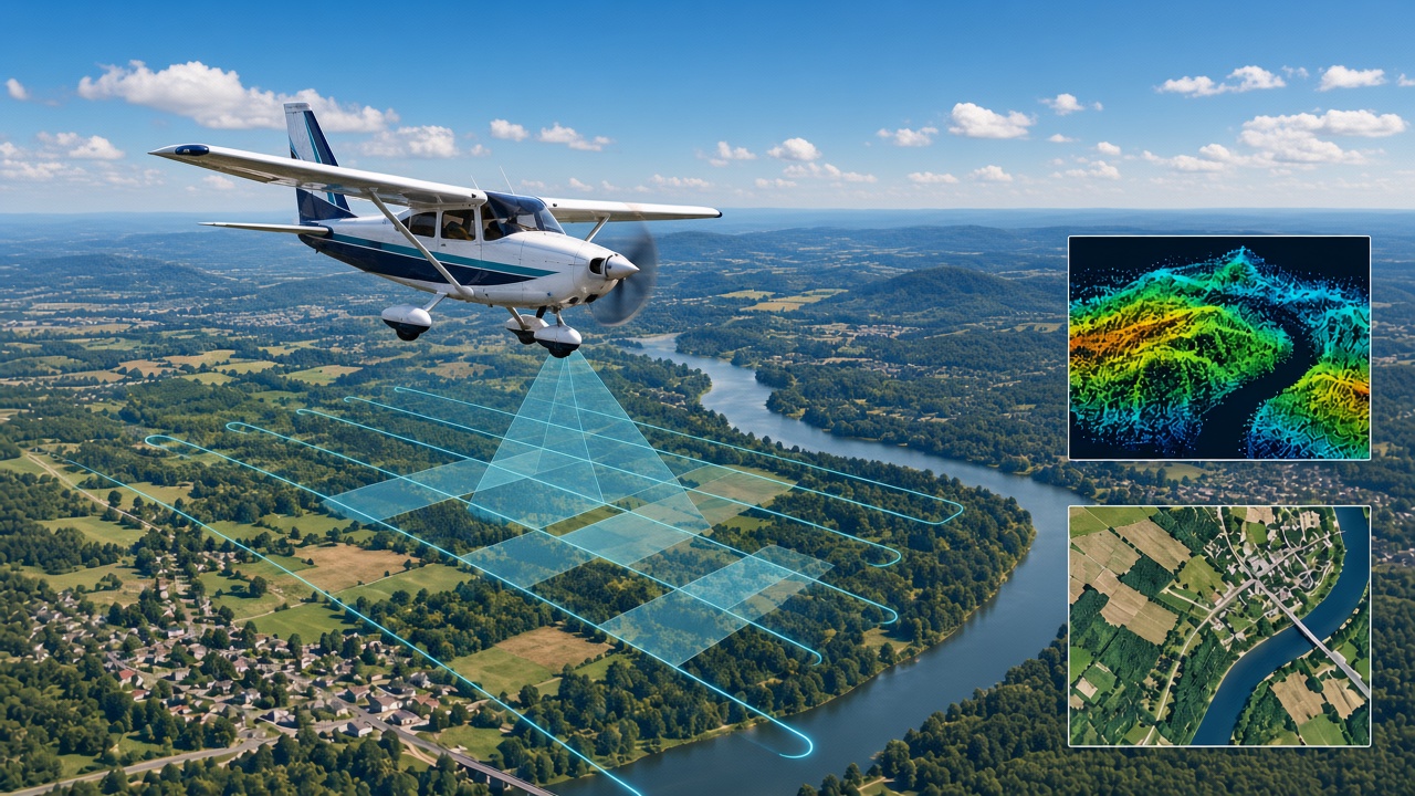
Organize survey areas, map flight lines, and keep photogrammetry and remote sensing missions together in one operational picture.
Aviation operations software
Air GeoData Mission Ops is aviation operations software for survey and mapping teams — not an aircraft charter service. Use it to frame collection objectives, plan coverage, capture photogrammetry / remote sensing work, and keep flight tracks with field notes.
It sits in the Tech Maven Geospatial family alongside GeoSightOps, GeoTactical Insights, Portable Tile Server, Windows Tile Server, and GeoServEngine when you need COP, tiles, or incident tooling beyond the aviation ops layer.